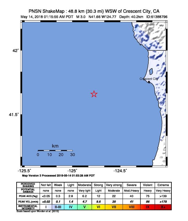
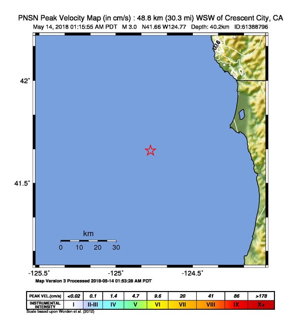
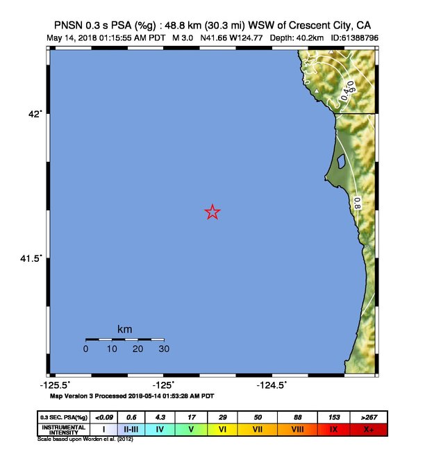
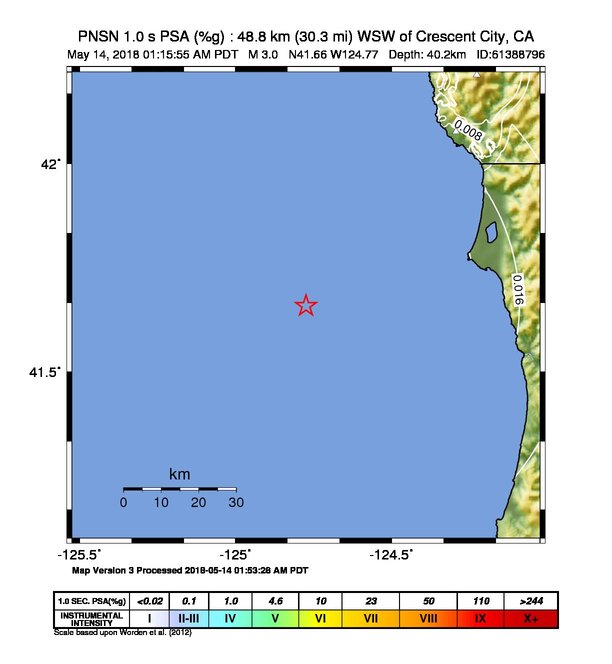
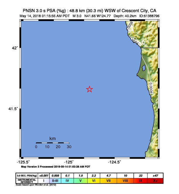
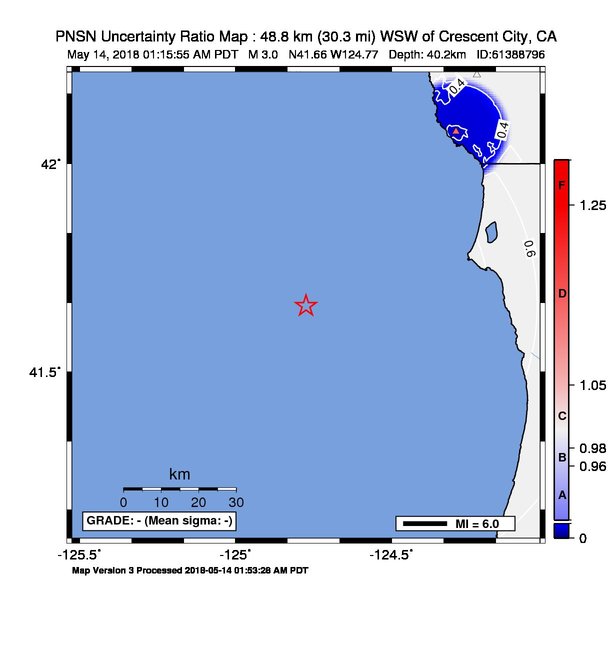
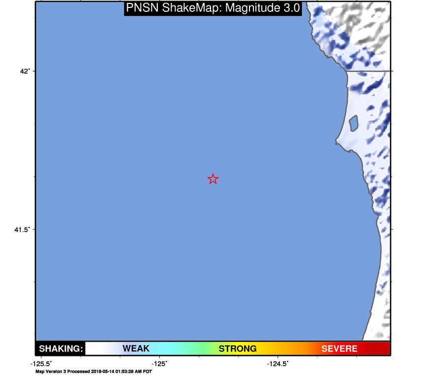
ShakeMap
Time:
Mon May 14, 2018 08:15:54 (UTC)
|
Depth:
39.74 km
|
Event ID:
61388796
|
Location:
41.658, -124.784


Downloads
| Regional | |
|---|---|
| intensity | JPG | PS.ZIP |
| acceleration | JPG | PS.ZIP |
| velocity | JPG | PS.ZIP |
| spectral 0.3 | JPG | PS.ZIP |
| spectral 1.0 | JPG | PS.ZIP |
| spectral 3.0 | JPG | PS.ZIP |
| uncertainty | JPG | PS.ZIP |
| tv map | JPG | PS.ZIP |
| tv map bare | JPG | PS.ZIP |
| tv info sheet | TXT |
| grid | XYZ.ZIP | XML.ZIP |
| gis | ZIP |
| station | TXT | XML |
| metadata | TXT |
Earthquake
| Event ID | Magnitude | Date | Time | Lat | Lon | Depth |
| 61388796 | 3.0 | // | :: | N41.65900 | W124.77400 | 40.18 km |
| Magnitude Bias: | MMI | PGA | PGV | PSA 0.3 | PSA 1.0 | PSA 3.0 |
| 0.00 | 0.00 | 0.00 | 0.00 | 0.00 | 0.00 |
Seismic Stations
| NC.KBO: | Bosley Butte | Agency: Northern California Seismic Network (NCSN) | |||
| Lat: 42.21236 Lon: -124.22598 Distance: 86.34 km from source | |||||
| Intensity: 1.0 | |||||
| Station Comp | Max Vel (cm/s) | Max Acc (%g) | PSA: 0.3 sec (%g) | 1.0 sec (%g) | 3.0 sec (%g) |
| --.HHE | 0.0039 | 0.0092 -T | 0.0278 -T | 0.0013 | 0.0001 |
| --.HHN | 0.0051 | 0.0092 -T | 0.0243 -T | 0.0014 | 0.0001 |
| UW.BROK: | Brookings Airport, Brookings, OR, USA | Agency: Pacific Northwest Regional Seismic Network | |||
| Lat: 42.07670 Lon: -124.29340 Distance: 73.18 km from source | |||||
| Intensity: 1.0 | |||||
| Station Comp | Max Vel (cm/s) | Max Acc (%g) | PSA: 0.3 sec (%g) | 1.0 sec (%g) | 3.0 sec (%g) |
| --.HNN | 0.0097 | 0.0326 | 0.0372 | 0.0020 | 0.0003 |
| --.HNE | 0.0152 | 0.0410 | 0.0644 | 0.0036 | 0.0003 |